 Moderate to
 Hard
Hard
 Moderate to
 Hard
Hard
 Tech Gear |

From there, we took the long way around to our camp at 4 Palms. This was a nice big open, yet sheltered area, but very barren. Even the 4 palms were burned. We unloaded our gear and headed out for more fun.
First, we needed practice. North-east of camp, we stopped at a wide hill and all took turns going up and down, forward and backward while Harry gave pointers. This was helpful in determining how much speed you needed to go up, and how much speed you built up going down.
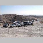 Calcite Mine |
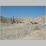 Four Palms Oasis |
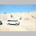 Big Mama |
With all of us now experts, we headed for the main attraction - Pucker Pass. This was a hill that seemed design to calibrate what Harry called your APF (Asshole Pucker Factor). More critical than any electronic gadget, your APF (if working properly) helps prevent both kinds of body damage. Pucker Pass was fun. Half way up I started to slip and my instinct told me to step on the brake. With a little coaching from Harry, I continued slowly from where I stopped, and the amazing 4Runner just crawled right up the hill. Electronic traction control really works, even on somewhat challenging off-road trails.
It was fun to watch everyone tackle the hill, including the old Land Cruiser, Big Mama (a full size van), a Wrangler that needed a yank, and finally the little Geo Tracker that could, bouncing it way up and off the walls.
From there, we continued to wind our way through the desert mud hills, re-entering camp through the back door, up over a high hill that surrounded the camp, just for the fun of it.
That night was a pot luck dinner and more star gazing.
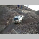 Pucker Pass |
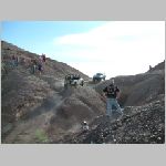 Jeep Yank |
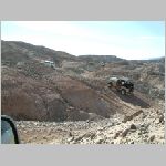 Mud Hills |

From the oasis, we continued south-east to Pumpkin Patch. These are strange sand formations that look like smooth rocks (or, I guess, pumpkins). This area was part of a recreation area, so there were all sorts of machines buzzing around, including: dirt bikes, dune buggies, 4-wheelers, and even a VW van. We continued south-east to our final point of interest, a well in the middle of the desert. We were told that there are underground pockets of water that push up making the hills. Occasionally, the water breaks through, or a pipe is put in for a well.
On the way home, one of our tour members took us to an area, just off the highway, that had old Native American fish traps. The theory is that they would make a "V" out of rock along the edge of the river. Fish would swim in and get confused? and not swim out. Anyway, it didn't look like much from a distance (desert rock and bushes) but if you looked close, there were tiny sea shells everywhere - another sign of the area previously having water.
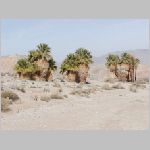 Seventeen Palms Oasis |
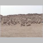 Pumpkin Patch |
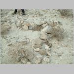 Native American Fish Trap |
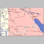
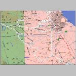
After getting home, I found some of the trails in my books:
"Backroad Trips and Tips" (Harry Lewellyn, the trip leader) numbers 85-89
"Backcountry Adventures - Southern California" (Massey and Wilson) South Coast numbers 26-29
|
|
Download:
Text file with waypoints, tracks, etc.
Garmin Mapsource file

|

|

|