 Moderate to
 Hard
Hard
 Moderate to
 Hard
Hard
 Departing for Moab |
 Toys |

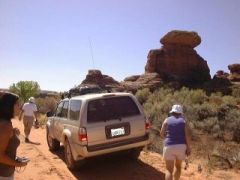
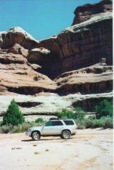
Out first stop was Paul Bunyan's Potty. This actually took us a couple of minutes to find, but once you see it, it's definitely looks like a big pot. We also took the side trip to Tower Ruin. Very cool. Ruins up in the side of the hill.
Near the end of the road, there's a section that's a little tricky to get through without scraping paint. Let's just say that the various colors on the rock overhead were not natural. Having a couple spotters helped.
There are a couple of hikes at the end of the road. One to Castle Arch and another to Fortress Arch. First, we had lunch. After lunch we looked for Fortress Arch. After looking for a while in the blazing heat, we found something that could have been an arch at one time, but wasn't currently. We decided it must have just fallen and headed back for shade and water.
It was so hot, we sat in the air conditioned car to cool off before starting off to Castle Arch. After walking a few hundred feet, we could see it in the distance and that was enough. We took pictures there and just sat in the shade.
 Horse Canyon |
 Paul Bunyan's Potty |
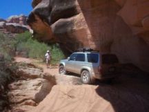 Tricky Part |
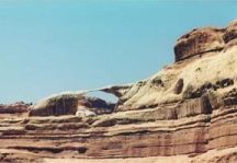 Castle Arch |

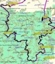
This was our big off-road trip. It's a loop that's almost 100 miles long. The Colorado and Green Rivers come together to make a "Y" with the White Rim being in the upper section. The road first follows the Colorado River to the confluence, then back up along the Green River. The majority of the rim (and the road) is at the same elevation - a mid level between the paved roads at the top level and the rivers at the bottom.
But first we had to get down to the rim taking Shafer Trail. This was definitely not flat. It was fairly well maintained (many people just went down and back up) but had a lot of steep switchbacks. We met a couple of interesting characters that were heading back up: one old couple that said it was "in the top 10 stupidest things he had ever done, and another family was complete with jokester Dad, video-taping Mom, and giggling kids in the back.
|
|
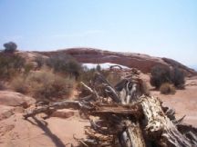
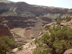
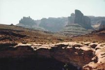
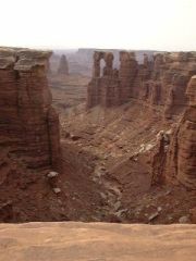
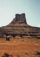
Once we got a few miles from the bottom of Shafer Trail, we were pretty much alone. And once we got to camp, we were very alone. But on the way, we stopped at an overlook of the Colorado River. And every turn had a different, incredible view, with steep cliffs heading up, deep canyon heading down, and cool formations in the distance. The road would come within a few feet of the rim edge (many pictures were taken from the car).
We got to our camp with plenty of time to relax. Unfortunately, this was about all we could do. We had a couple of hikes planned, but it was way to hot to do anything serious. So we just walked around exploring, set up camp and made dinner. Our "camp site" (one of two and this "camp ground") consisted of one bush and one pole to mark the spot. But we did have a pit toilet.
It was eerily quiet. No animal noises. You couldn't even hear the wind. The only animals we saw were bats, fire ants, and one little bird. We both had sandals on and we both got bit in the toe by a fire ant. These little guys pack quite a punch and had Rachel in pain for much of the night.
|
|

|
|

But all of this was well worth it to see all of the incredible views we saw along the way. Our second day on the rim had even more rock formations, more steep cliffs and drop-offs, and more beautiful sky. The last leg of the road, before heading back up to the top, brought us up close to the Green river. We got out to have lunch and did a little exploring along the bank.
There were really only a couple of sections of the road were technically challenging. I give it a difficult rating mostly because of the distance and the conditions. The ground was so hard, that even on the "flat" sections of the road, there were many large rocks that made for a very bumpy ride. But as I said before, well worth it.
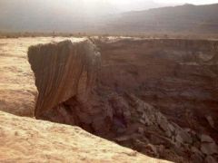 View From Camp |
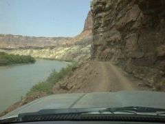 Green River |
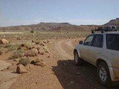 White Rim Road |
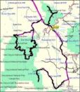 Moab Overview |
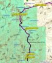 Needles |
 White Rim |

|

|

|