 Easy
Easy

 Easy
Easy
Our one day trip to Green Valley started at my house and made it's first stop at JPL. We had both stayed up late the night before setting up our GPS software. Joe's laptop was having problems. The stop at JPL was to pick up some hardware that we thought might fix it. It didn't help. Oh well. Our destination was the area north of Santa Clarita between Castaic Lake and Lake Hughes. It's actually somewhat difficult to find roads that are open in the winter. And many areas get a lot of snow this time of year, making the roads too difficult even if they were open (at least for me, especially without chains). So we compromised on Green Valley, normally pretty easy, but interesting with snow.
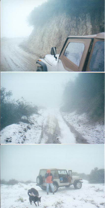
This particular weekend was one of the worst of the winter. A storm had just moved through the week before, and a new one was here. On the freeway, at 1000 feet, it was raining. By the time we got up around 3000 feet, it was snowing. The top, about 4000 feet, had a few inches of snow on the ground and was pretty slippery in spots. The ruts would just suck you in, and at one point it we were driving sideways. This is when the locker came in handy.
From San Francisquito Road we left the pavement onto Clearwater Canyon Rd (6N24) and headed up Tule Ridge Rd (7N01). Near the top we stopped for lunch and let the dogs out to run. I snapped a picture of a funny scene - Joe, in the snow, talking on his cell phone, trying to fix the problem with his laptop. Continuing north, we exited near Elizabeth Lake and had a beer at the local Inn. On our trip back, we made a loop by taking Elizabeth Lake Canyon Rd and back onto 6N24. The map showed a gate at the 7N01 intersection, but on our trip in, we noticed that it was open. This brought us back to San Francisquito Rd, closing the loop. Before getting back on the freeway, I aired up the tires with the new ARB air compressor.

