 Moderate
 Moderate
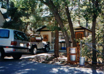
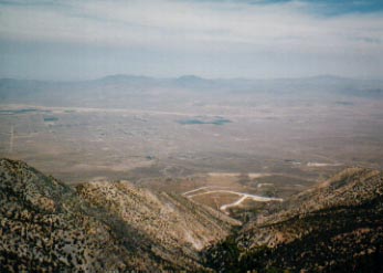
On our 4-wheel outing, we headed towards Fawnskin on route 38 that runs just north of Big Bear lake. We turned off on a dirt road heading north. I think it was 2N09. We were trying to connect to 3N10. However, the map we got from the ranger station was very crude and had very few roads on it. Later I found out they had a much better map for sale. They could have told me. Anyway, we hit some pretty good stuff but ended up at a dead end. Looking back at the map, we must have turned down 3N07. We stopped here and climbed a big pile of rocks, finding a great view of the high desert at the top.
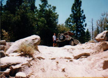
Going back on 3N07 was a little tricky. The last 20 feet or so was very steep, narrow, and rocky. I went up alone and hit the driver's side mirror on a rock (the only collision I've ever had... so far). No damage, but exciting.
We connected back up with 3N16 and headed east. Going past the turn off to Gold Mountain (that looked gnarly, I'll definitely have to go back) we hit paved route 18 near dry Baldwin Lake. From there, we drove back to our cabin in Sugarloaf.
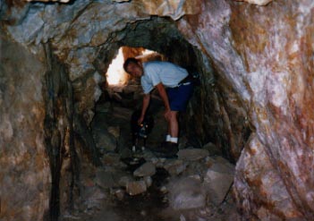
Big Bear has a lot of old gold mines up in the hills. On a later trip, I took my parents back up to Big Bear. We weren't very successful at finding gold mines, but the scenery was still awesome.
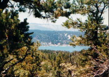
There's also a lot of great hiking around Big Bear. Cougar Crest, Whispering Pines, and a short nature trail to name a few. Cougar Crest gets up high with great view of the lake.
